04 · RF hardware · Group engineering project
ORCA / APS
Under sea ice there is no GPS fix and no line of sight. This project designs the positioning infrastructure an autonomous underwater vehicle would need to know where it is — deployed from a drone, disciplined by GPS on the surface, and resolving position acoustically below.
A drone-deployable acoustic positioning constellation for AUV navigation under Antarctic sea ice
The problem
Autonomous underwater vehicles working beneath Antarctic sea ice cannot surface for a GPS fix and cannot rely on dead reckoning for long missions without accumulating unbounded error. Any useful science mission needs an external position reference that exists under the ice.
The approach
The design is a constellation of positioning nodes deployed by drone onto the ice surface. Each node takes a GPS fix and, critically, a GPS-disciplined time reference, so the constellation shares a common clock. Nodes then emit acoustic signals whose differences in arrival time at the vehicle allow position to be resolved by time-difference-of-arrival multilateration.
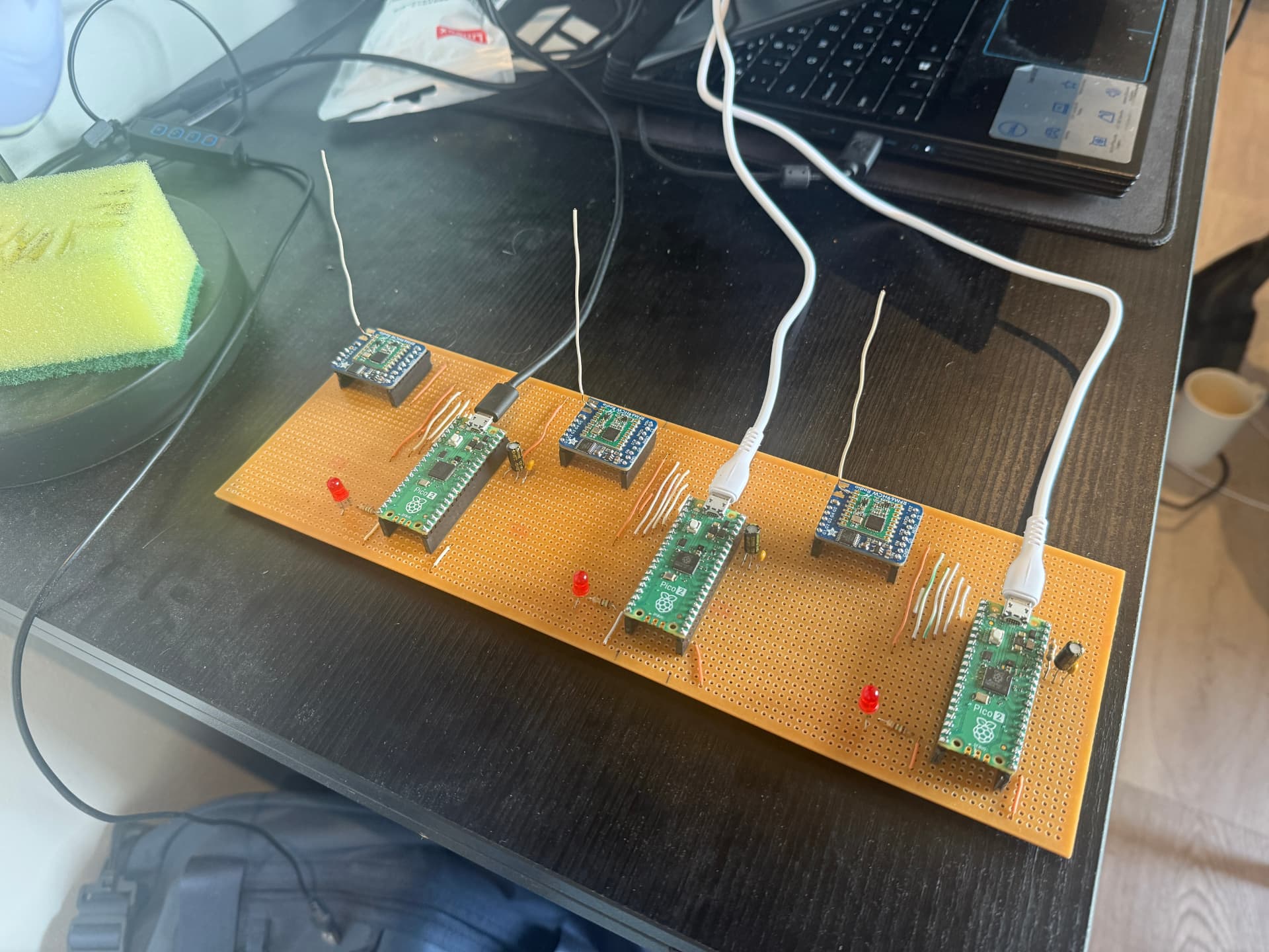
Above the ice, the nodes coordinate over a LoRa / RFM69HCW radio network driven by RP2350 microcontrollers — which is what the four-node bench prototype above exists to prove.
My contribution
Radio node hardware bring-up and firmware, timing discipline across nodes, and discrete-event simulation of the coordination protocol so that scheduling, collision and duty-cycle behaviour could be evaluated before any of it went near a field trial.
Deployment context
The system is scoped against a realistic deployment route via the SA Agulhas II and the South African National Antarctic Programme, which constrains mass, power, ruggedisation and logistics as hard requirements rather than nice-to-haves.